Bangladesh Geography and Regional Role: South Asia’s Gateway to Eurasia
From mighty river deltas to strategic trade corridors, Bangladesh emerges as a land where water and earth shape its geopolitical future
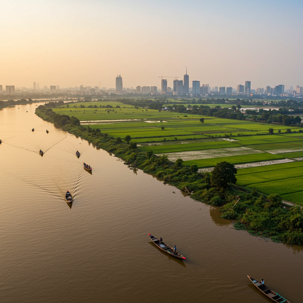
Where the immense Ganges and Brahmaputra rivers merge into one of the world’s largest deltas, Bangladesh breathes with life. This lush land is more than just a geographic location — it is a crossroads of civilizations, trade, and culture, connecting South Asia to the broader Eurasian landscape.
From serene riverside villages to the bustling megacity of Dhaka, Bangladesh embodies humanity’s enduring dialogue with nature. The fertile soil and abundant waters have made agriculture a cornerstone of life here, while its strategic location along the Bay of Bengal has attracted global trade for centuries.
Yet geography is never neutral. Bangladesh’s riverine plains, while productive, are also prone to flooding and the effects of climate change. Instead of surrendering to these challenges, the nation has embraced innovative infrastructure, regional partnerships, and forward-looking diplomacy to turn vulnerabilities into strategic assets.
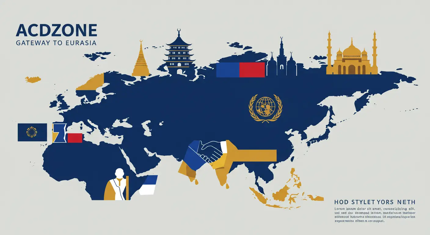
This article explores how Bangladesh’s physical geography — its neighbors, natural resources, and strategic location — shapes its regional influence. Through its deltaic land, maritime access, and participation in new trade initiatives such as CCACD, Bangladesh is positioning itself not as a small country overshadowed by larger neighbors, but as a pivotal bridge in South Asia’s future.
1. Physical Location and Natural Features
Bangladesh is situated in the heart of South Asia, bordered by India to the west, north, and east, by Myanmar to the southeast, and by the Bay of Bengal to the south. Covering roughly 148,000 square kilometers, it is among the world’s most densely populated nations. The country’s topography is largely flat and deltaic, formed by three mighty rivers — the Ganges, Brahmaputra, and Meghna — which provide rich alluvial soil ideal for agriculture.
The monsoon climate brings abundant rainfall, feeding its waterways and farmlands. However, this same abundance carries risk: seasonal floods, cyclones, and rising sea levels threaten rural livelihoods and urban infrastructure alike.
2. Neighborhood Relations and Strategic Borders
Bangladesh shares over 4,000 kilometers of border with India, making it one of the longest continuous land boundaries in the world. This geographical reality fosters strong economic and security ties but also requires careful management of cross-border trade, migration, and water resources.
To the southeast, Bangladesh’s short border with Myanmar opens a path to Southeast Asia, creating opportunities for energy pipelines, road connectivity, and bilateral trade. Meanwhile, maritime access through the Bay of Bengal enhances Bangladesh’s potential to develop as a shipping and logistics hub serving regional and international markets.
3. Geopolitical Significance and Regional Role
Bangladesh’s position at the junction of South and Southeast Asia grants it unique leverage in regional integration projects. The country is actively participating in economic corridors, road and rail networks, and maritime initiatives under agreements like CCACD, aiming to connect Eurasian markets through seamless transport routes.
This strategic geography enables Bangladesh to diversify trade partners, attract investment, and become a vital transit point for goods moving between India, China, Myanmar, and beyond. By upgrading its ports, highways, and energy infrastructure, Dhaka is not only serving its own economic needs but also contributing to greater regional stability and cooperation.
4. Natural Resources and Strategic Assets
The fertile land supports high-yield agriculture, ensuring food security while providing export commodities such as rice, jute, and tea. In addition to agricultural wealth, Bangladesh possesses natural gas reserves and access to freshwater resources that fuel its industries and domestic energy needs.
The nation’s long coastline and deepwater port potential — particularly at Payra and Matarbari — position it as a promising center for maritime trade and logistics, reducing dependency on overland routes and expanding its regional influence.
5. Climate Challenges and Resilience Strategies
Bangladesh faces significant environmental threats, including frequent flooding, tropical cyclones, and rising sea levels linked to climate change. However, instead of viewing these as insurmountable obstacles, the government has implemented ambitious adaptation strategies: building embankments, enhancing flood forecasting, strengthening urban drainage systems, and collaborating with international partners to secure climate financing.
These measures not only protect its population but also improve conditions for trade, infrastructure development, and foreign investment — turning environmental risks into opportunities for sustainable growth.
Conclusion
Bangladesh’s geography is both its greatest challenge and its greatest advantage. Situated at the heart of South Asia with vast fertile plains, rich waterways, and maritime access to the Bay of Bengal, the country is poised to become a linchpin of regional connectivity.
Rather than being defined by environmental vulnerability, Bangladesh is redefining its destiny through infrastructure investment, diplomatic engagement, and strategic participation in Eurasian trade networks. Its geography shapes not only its economy but also its political identity and regional significance.
This article demonstrates that Bangladesh is no longer a passive landscape molded by rivers and monsoons — it is an active player using its geography to influence trade, diplomacy, and future cooperation across South and Southeast Asia.


No comment